 Ko Samet Archipelago
Koh Samet, also referred as Ko Samed or Ko Samet, is the largest and westernmost island of a small archipelago located in the Gulf of Thailand. The small group of islands lies just off the coast of Rayong province, about 80 km south of Pattaya and 210 km from the capital. Ko Samet is the only island within archipelago with a resident population and the closest to mainland. The island's northernmost tip is only 2.6 kilometres south of Rayong's coast; however the actual travelling distance from the main commercial pier is about 10 kilometres. The regular ferries to Koh Samet leave all year around from three different piers in Ban Phe, a small fishing village 20 km south of Rayong. The island has a microclimate of its own which makes it one of Thailand's driest islands. It misses most of the heavy monsoons that plagues other islands in the Golf of Thailand, so the weather is guaranteed to be pleasant at almost any time of year. Thanks to its beautiful beaches and excellent climate, Ko Samet is very popular among foreign tourists, but it is also appreciated and frequented by Thais, especially on weekends and public holidays. Since 1981, the archipelago has been declared natural park by the Royal Forest Department and named Khao Laem Ya-Mu Ko Samet National Park. Under the protection of the National Parks Division of the Thai government, it includes most of Ko Samet, excluding the Na Dan area, nine other small uninhabited islands around it, the headland of Khao Laem Ya, and the 11 kilometres of Mae Ramphung Beach. The other islands are: Koh Kruai, Koh Kham, Koh Pla Tin, Koh Khet Chalam, Koh Ku Dee, also called Koh Kut, and Koh Khao Krang, all located to the east of main island, while just off the Ko Samet's southern tip lie other three tiny rocky islands: Koh Chan, also known as Moon Island, Koh San Chalam, or Shark Fin Island, and Hin Khao or White Rock. Park entrance fee for foreigners is 200 Bath, 100 for kids, and 40 Barth for locals, 20 for kids.Read More
 Features of Ko Samet
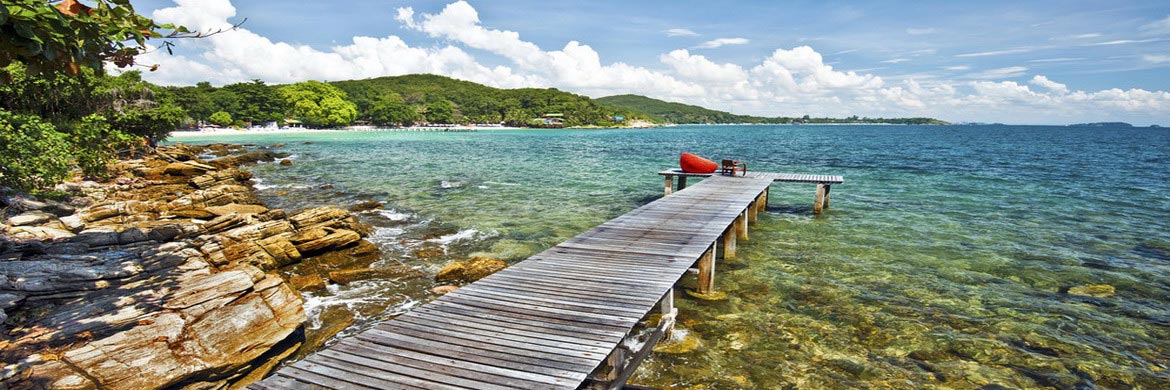
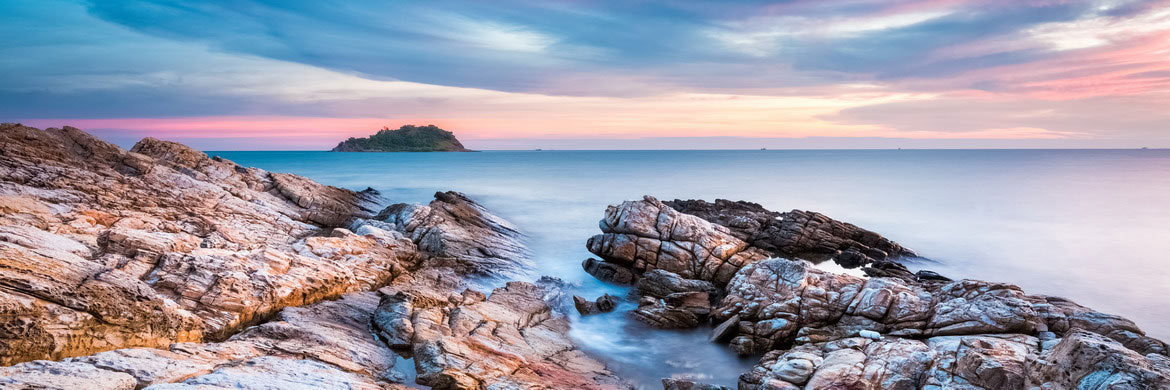
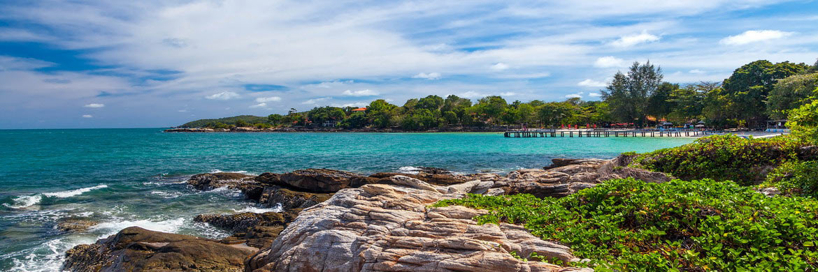
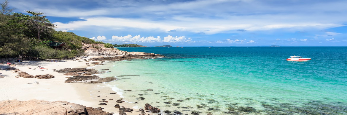
The island has a shape reminiscent of a "t" elongated, and measures 6.8 km from north to south and about 4 km from east to west, a total area of 13.1 square kilometres. Despite the few rains that plague Ko Samet, the topography of the island consists of lush forested hills covering up to 80% of its total surface, mainly evergreen, deciduous forest and cajeput trees. In fact, its name means the island of the cajeput tree. On the north-eastern tip is the small Na Dan Village, also known as Samet Village is the only area on island with resident population. Just north of the village is situated the Ao Klang Pier, where all ferries arriving from the mainland stop, right south lies Hat Sai Kaew, the island's most popular beach. In the small village there is a medical centre, a primary school, few accommodations, several restaurants and bars, some shops and one of the only two ATMs on island, the other one is behind Wong Duean Beach. In Na Dan there are also the only two 7-Eleven shops on Ko Samet. One is close to the pier, the other one is near the Park Office, in front of Hat Sai Kaew. In addition to these, there are other several small local mini markets and shops scattered around the island. Set near Hat Sai Kaew, Wat Ko Samet is the only big Buddhist temple on island. Ko Samet offers a wide range of good accommodations for tourists. Most are located directly along or just behind the beaches, where are also situated most of restaurants and bars. There are accommodations for every budget, from simple bamboo bungalows to medium and high-end resorts. The several restaurants serve Thai and Western cuisine at fairly affordable prices. On Ko Samet there is a minimum of night life, just a few bars and pubs beach front in Hat Sai Kaew and Ao Phai offering music with DJ, artist performances, fire shows and beach parties. What attracts so many tourists to Ko Samet are its beaches, certainly among the finest in the Gulf of Thailand, and some are comparable to those on the Andaman Sea in Southern Thailand. Most beaches boast perfect white sand, soft like talcum powder and surrounded by crystal clear waters with a colour that blends towards the turquoise. Apart from the beach at Ao Prao, all the most popular beaches lie in beautiful bays along the island's eastern coast, including Hat Sai Kaew, Ao Phai, Ao Wong Duan, Ao Tien, Ao Wai, Ao Lung Dam and Ao Sang Thian. Hat Sai Kaew, which literally means Crystal Sand Beach, is the longest and most popular beach in Ko Samet. Better known among foreigners as Diamond Beach, it is located in the island's north-eastern coast. Lined by Cajeput trees, it is about 780 meters long and fairly wide, approximately 25-30 meters, and boasts fine snow-white sand that gently descends into crystalline turquoise waters. The surrounding sea is very shallow and ideal for all seaside activities. From sunrise to sunset, visitors can enjoy sunbathing, swimming, jet skiing, windsurfing, 700 baht per hour, sailing on a catamaran, 1000 baht per hour, and fun banana boat rides. After sunset, this is one of Ko Samet's most lively areas with fun beach parties. The beach is quite crowded during the high season, so it can get a bit noisy due to all the motorised activities. Beach front there are at least ten resorts offering air-conditioned rooms or cheaper bungalows, as well as several restaurants and bars that also offer deck chairs. Ao Prao, also referred as Ao Phrao, is the only beach situated on the Ko Samet's Western coast. Quite far away from the lively life of East coast, it is one of finest and quietest beaches of island that hosts only a few high-level resorts. The beach is the ideal destination for those looking for peace and tranquillity in a small corner of tropical paradise, but still it offers high quality accommodation with all the comforts.
Getting around: Narrow roads link the various beaches of Ko Samet. Basically there are two main paths on the island: the northern route connects Hat Sai Kaeo to Na Dan Village, Ao Klang and Ao Noi Na, while the central route leads to the southern tip. The central road is divided into two main sections. The first road links Hat Sai Kaew to Ao Phai and then to Ao Phrao, on the west cost. The second road connects the first road to Ao Wong Duean and then to Ao Karang located on the southern tip. Stretches of minor roads link the central route to other beaches, such as Ao Nuan, Ao Cho, Ao Tien, Ao Wai and Ao Kiew Na Nok. Song-thaews are the main means of public transport on the island.Read More
Info
- Address Park Office: Hat Mae Rampeung-Phe Road, Ban Kon Ao, Rayong
- Telephone: +66 3865 3034
- Admission fee: 200 THB for adults and 100 THB for children
Dinamic Map
 Get to Ko Samet & Weather
Ko Samet is located on the northeast coast of the Gulf of Thailand, about 210 km southeast of Bangkok, and has an average temperature between 22° C and 32° C all year round. It is subject to annual monsoons that influence the climate dividing it in three seasons. The Cold Season is a dry period that runs from November to February and it is characterized by a constant sunny weather and the average temperature is between +22° C and +31° C. The Hot Season is a really warm period that starts in March until mid-May, when humidity is higher and temperatures range from 27° C to 35° C with occasional peaks even higher than 38° C. The Rainy Season in the Gulf of Thailand usually starts from May to November and is influenced by the southwest monsoon, however, the island has a microclimate of its own which makes Ko Samet one of the driest islands in Thailand. The rainy season extends only from May to July, but even during this season the island misses most of the heavy monsoons. The rainfall usually do not last more than a day and not more than a few hours, the sunny days are more frequent than cloudy. The average temperature during this time is between 27° C and 30° C with the humidity usually well over 70%.
The regular ferries toward Ko Samet leave all year around from three different piers in Ban Phe, a small fishing village 20 km south of Rayong. The ferry ticket costs 50 THB for Thais and 100 THB for foreigners. There are also private speed boats to be hired at piers to make the trip faster and more comfortable, but even dividing the cost with other tourists they are much more expensive. The boat trip takes about 25-40 minutes, depending on the boat, the weather and on which part of the island it goes to. There are six piers on island: Ao Klang, Hat Sai Kaeow, Ao Phrao, Ao Wong Duean, Ao Thian, and Ao Wai. Located in Na Dan Village on the north coast, Ao Klang Pier is the port to mainland. The other piers are placed on the island's main beaches and are used by diving or excursion boats, as well as by the speed boats leading tourists directly to the various resorts. There is a small fee to be paid for access to the Park when you arrive on the island. Foreigner tourists pay each one 200 THB, 100 THB for the child, while the Thai citizens pay 40 THB for adult and 20 THB for the children. The tourists arriving by regular ferry can pay the fee at the park office near the pier. Those travelling with a private speed boat, or tour boats, and arriving directly at the beaches probably will meet an officer that collects the fee on the beach.
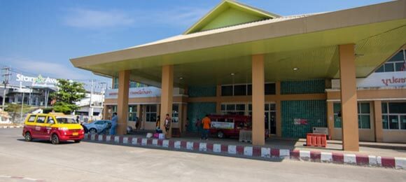
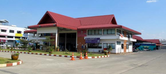
The easiest way of travelling to Ko Samet is definitely the buses. If you are already in Bangkok, there are several bus and minibus options to reach Rayong or even Ban Phe piers. The most frequent departures are from Ekkamai, the Eastern Bus Terminal more close to Ko Samet, where buses leave every thirty minutes between 05:00 and 20:30 each day. The trip normally takes 3.30-4 hours depending on traffic and ends just opposite the ferry piers; the fare is about 200-250 THB. From Mo Chit, the Northern Bus Terminal, there is no direct service to Ban Phe, the buses leave every hour at a cost of 200 THB but reach only Rayong, from where you have to take a song-thaew to reach Ban Phe, about 20-30 THB for the ticket. The minibus services toward Ban Phe leave from Victory Monument, Khao San Road and Southern Bus Terminal. Departures are every one or two hours depending on the starting point and bring you directly to the ferry piers. The trip takes approximately 2.30-3 hours and the right cost is around 200-250 THB. From Pattaya the most common way to get to the piers is by minibus. There are daily departures at 08:00, 12:00, and 15:30; the minibuses leave Ban Phe for the return trip at 10:00, 17:15 and 13:30. The minibus ride takes only an hour or less, and the cost is around 250-350 THB per person.
Find the best Hotel in Pattaya at "Lowest Price"
Reach Pattaya & Move Around


